Planning a drone shoot in Ventura or LA County? Adding aerials brings a few things that don’t apply to a camera on sticks. None of them are complicated, and knowing them early makes for easier planning and a much calmer shoot day. These notes are written with Ventura and Los Angeles Counties in mind, but most of them apply anywhere.
The rules come first
Commercial drone work in the United States is regulated by the FAA and flown by certificated remote pilots. On top of that sit the rules of whoever controls the location: cities, counties, park agencies, landowners and venues.
In practice that means three things for your production. Share your locations with your aerial team as early as you possibly can. Expect some of them to need an authorization or a permit. And accept that some locations, or some shots at those locations, won’t be possible. Approval is never guaranteed, so it’s worth having a plan B in your back pocket.
LA’s airspace is crowded
A surprising amount of Los Angeles sits under controlled airspace: LAX, Hollywood Burbank, Van Nuys, Santa Monica, Long Beach and a ring of smaller airports. In Ventura County, there’s Camarillo, Oxnard and the Navy at Point Mugu. Flying in those areas takes FAA authorization, which is sometimes nearly instant and sometimes weeks away.
Temporary flight restrictions add another wrinkle. Wildfires, stadium events and VIP visits all generate them, sometimes with very little warning. A good aerial team checks when planning and again on the morning of the shoot.
Permits, parks and beaches
In the City of Los Angeles and unincorporated LA County, permits go through FilmLA, which also handles a number of other cities. In Ventura County, the county looks after unincorporated areas and most cities run their own process. Either way, make sure the drone is listed on the permit.
Who owns the ground matters as much as the airspace. National park land, including the NPS-managed parts of the Santa Monica Mountains, generally doesn’t allow drones to take off or land. California State Parks decide park by park. Many city beaches have their own rules. Your aerial team should find a legal take-off spot or suggest a better location nearby.
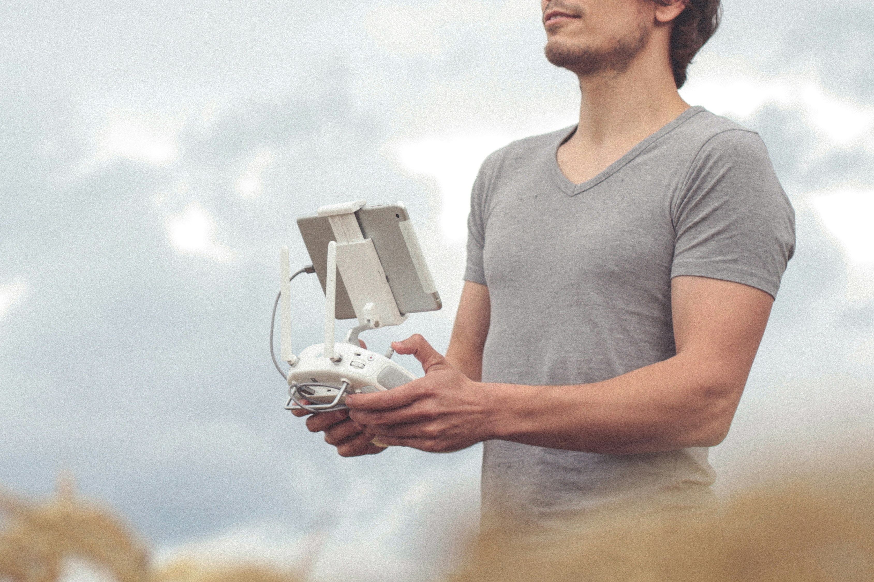
The aerial schedule has its own rhythm
Pre-flight checks, battery swaps, repositioning and safety briefings all take time. A shot that lasts ten seconds on screen might take half an hour to set up and fly properly, especially if it needs several takes. Ask your aerial team how long each setup really needs, and where the good light falls, before you lock the schedule.
Safety is everyone’s job
On the day, the aerial team will brief everyone: where the take-off and landing area is, where people should and shouldn’t stand during flights, and how to communicate. Make sure everyone involved hears that briefing.
A few things production can do that make a big difference: put the aerial flights and briefing on the call sheet, give the aerial team one point of contact, keep the take-off area clear, manage the public where needed, and back the pilot if they decide a flight isn’t safe. That last one matters. Pilots will sometimes delay or scrub a flight because of wind, people or other risks. It’s frustrating in the moment, and it’s the right call.
Weather is a real variable
On the coast, the marine layer can hang around until noon, or all day, in late spring and early summer. Inland, Santa Ana winds can make canyons and passes too gusty to fly in fall and winter. For weather-dependent shoots, agree on backup days or alternative shots during planning, and agree how weather delays are handled before anyone signs anything.
Agree on deliverables before the shoot
Get your post team and your aerial team talking about resolution, frame rate, color profile, aspect ratios and whether you want raw media, selects or an edit. It avoids the classic headache of aerials that don’t quite match everything else.
Privacy and the people below
Aerial cameras can see a lot. Plan flights around what you actually need, keep neighbors’ homes and backyards out of frame where you can, avoid filming identifiable people without consent, and follow California’s privacy laws.
Questions worth asking any aerial team
What’s realistically possible at our locations? What authorizations or permits will we need, and who arranges them? How long will each setup take? What happens if the weather stops us? What will we receive, in what format, and when?
The answers will tell you a lot about how prepared your aerial partner is. Our process page shows how we handle each of them.